基于“源-汇”理论的海口城市景观格局与热岛效应响应机制
基于“源-汇”理论的海口城市景观格局与热岛效应响应机制
[摘 要]【目的】城市化引起的土地利用/覆被变化加剧了热环境恶化,海口特殊的发展格局导致其城市热岛具有典型性。【方法】选取2000、2005、2010、2015和2018年5期Landst遥感影像为数据源,使用监督分类和目视解译法反演土地利用数据,使用单窗算法反演地表温度;然后基于GIS技术提取研究区域热场变异指数、汇源景观贡献度和景观效应指数,使用地理空间分析与数理统计法,分析海口陆域在城乡梯度上的汇源景观格局对城市热环境的贡献及其生态效应。【结果】1)热岛梯度演变集中于西海岸、中心城区和江东新区等区域,导致平均热场变异指数在T1~T7较高且递减T8~21变动则较小。2)不同汇源景观的平均热场变异指数不同,呈“裸地﹥人工表面﹥源景观﹥灌草地﹥农田﹥汇景观﹥林地﹥水体”的规律;五期的汇源景观贡献度在T1~T7较大,在T8~T21偏小。3)平均景观效应指数在中心城区段(T1~T7)沿城乡梯度快速递减且促进热岛比例大,梯度带1为第一峰值;在郊区段(T8~T21)波动上升且缓解热岛比例大,存在第二峰值。【结论】热源区面积增加、热汇区面积减少是人工表面由中心城区不断向周边扩张的表现;源、汇景观在中心城区对热岛贡献值最大,沿着梯度方向对热岛贡献度随之降低;越靠近中心城区,汇景观缓解热岛的贡献度也越大,之后沿远离中心的城乡梯度方向逐渐减小。随着城镇不断扩张,在城乡梯度方向汇区比例不断增大、源区比例不断减小,导致了热岛的空间转移与扩散。由此,提出基于区域景观系统理论的热岛缓解策略。
[关键词]景观格局;地表城市热岛;梯度分析;“源-汇”理论;海口市
[中图分类号] :Q149 [文献标志码]:A
Research on the relationship between landscape pattern and surface city heat island based on "Source-Sink" Theory of Haikou City
Abstract:【Objective】Changes in land use/coverage caused by urbanization has exacerbated the deterioration of the thermal environment. The unique development pattern of Haikou leads to the typical urban heat island.【Method】Five Landst remote sensing images in 2000,2005,2010,2015 and 2018 were selected as the data source.Invert land uses data using supervised classification and visual interpretation.Utilize a single window algorithm to retrieve the surface temperature.Then,based on the GIS technology, the thermal field variability index,Huiyuan landscape contribution degree and landscape effect index are extracted.Using geospatial analysis and mathematical statistics,the contribution of the Haiyuan land area's Huiyuan landscape pattern on the urban-rural gradient to the urban thermal environment and its ecological effects was discussed.【Result】1)The gradient evolution of heat islands is focused on the west coast,inner urban area and Jiangdong New Area,resulting in a higher and decreasing average thermal field variability index from T1 to T7,and a smaller change from T8 to T21.2)The average thermal field variability index of different Huiyuan landscapes is different,showing the law of “bare land﹥urban and rural construction land﹥source landscape﹥grassland﹥farmland﹥farmland﹥hui landscape﹥forest land﹥water body” The contribution of Huiyuan landscape in the fifth phase is larger from T1 to T7 and smaller from T8 to T21.3)The mediocre landscape effect index decreases rapidly along the urban-rural gradient in the inner city section (T1 to T7 ) and promotes a large proportion of heat islands,with T1 being the highest peak.In the suburban section (T8 to T21),the fluctuation rises and the proportion of mitigating heat islands is significant,and there is a second peak.【Conclusion】The increase in the area of the heat source area and the decrease in the area of the heat sink area are manifestations of the continuous expansion of the construction land from the dominant urban area to the surrounding area.The source and sink landscapes hold the largest contribution to the heat island in the inner urban area,and the contribution to the heat island reduces along the gradient.The closer to the principal urban area,the greater the contribution of the sinking landscape of the heat island,and then gradually decrease along the gradient of the urban and rural areas away from the center.With the continuous expansion of cities and towns,the proportion of sink areas in the gradient direction of urban and rural areas continues to increase,and the proportion of source areas continues to reduce,resulting in the spatial transfer and diffusion of heat islands.Therefore,heat island mitigation strategy based on the regional landscape system theory is proposed.
Keywords: Landscape pattern;Surface urban heat island;Gradient Analysis;“source-sink” Theory;Haikou
编辑:赵立娇
相关阅读
江苏扬州:今年实施五大攻坚行动提升城市绿化
城市道路绿化增绿行动。利用今年春季绿化黄金季节,针对城市道路绿化达标率、林荫路覆盖率等指标,全面开展道路绿化增绿提绿补绿,重点对87条道路的行道树“有绿无荫、有景少荫”、绿化品种单一等问题进行整改,形成配置合理、错落有致、层次清晰的道路绿化景观【详细】
北京昌平新城东区将打造滨水商业消费新地标
昌平新城东区位于昌平区南邵镇,规划建设用地面积11平方公里,规划人口12万,围绕打造首都北部消费新地标编织街区控规已获批。未来,昌平新城东区将打造成为京北体验消费示范区、山水宜居典范城区、高水平综合服务承载区和智慧产研创新园区【详细】
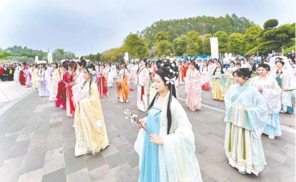
南宁园博园举办“礼乐园博·南宁花朝盛典”
活动期间,南宁园博园还举办了汉服新秀大赛、同袍巡游、及笄成人礼、国风婚礼妆照展示、明制婚礼仪式典礼、六艺游园、书画体验、国风集市等精彩纷呈的活动,同时邀请众多知名国风模特参与表演展示【详细】
成都首届“最美公园”评选结果出炉
据成都市公园城市建设管理局相关负责人介绍,本次“最美公园”评选范围包括23个区(市)县已建成开放的1514个公园,包括综合公园、口袋公园,还有郊野公园【详细】
热门推荐RECOMMEND
- 山地城市景观梯度特征与城市建设耦合关系研究 ——以重庆南岸区长江水域至南山东山脊...
- 2020国际人居环境与未来城市大会暨第十届园冶高峰论坛论文摘要集...
- Public participation enhances public value
- 传统村落理水智慧数字化解析 ——以江西流坑村为例
- 基于“源-汇”理论的海口城市景观格局与热岛效应响应机制
- Evaluation of Carbon Emission in Low-carbon
- 中国自然资源和可持续发展的研究现状及未来趋势展望——基于CiteSpace的可视化分析...
- 基于雨洪管理的社区韧性评价及优化策略研究
- 基于城市绿色生产性面积的生态补偿机制研究
- 中国社区农园的空间分布特征、影响因素与发展建议分析